-
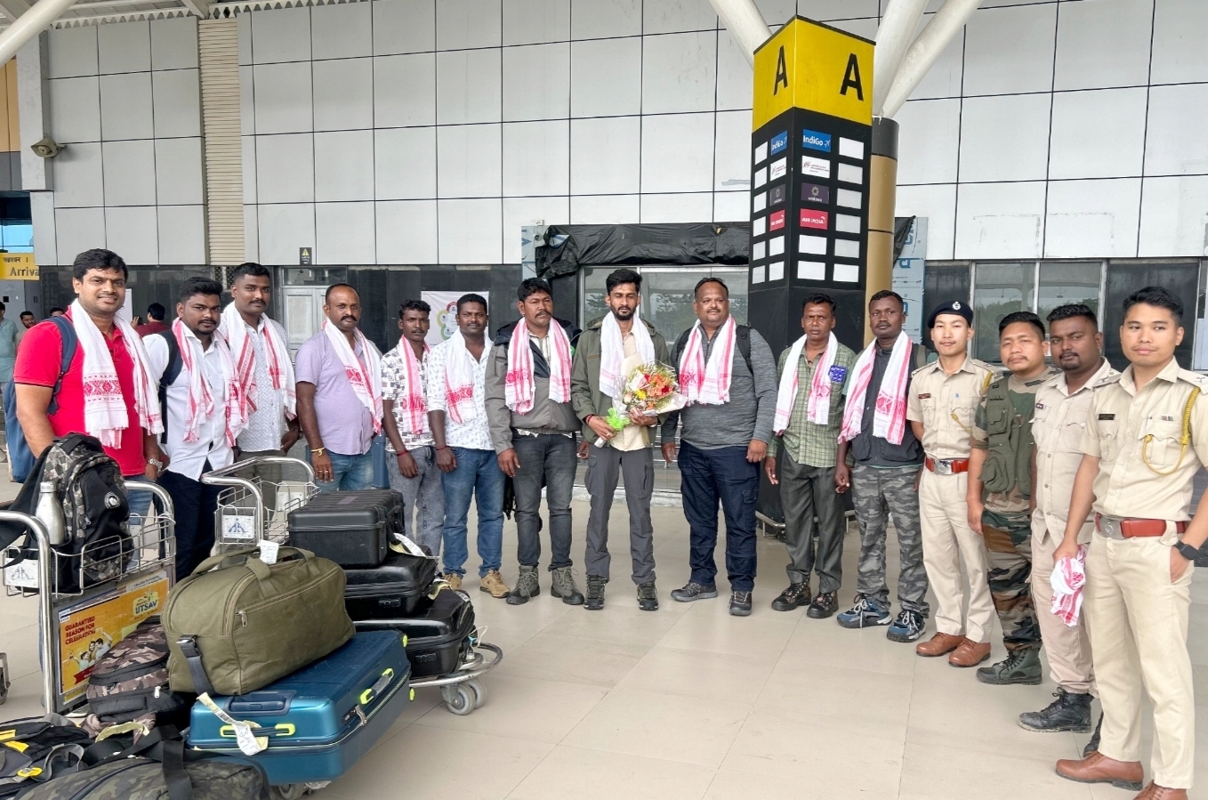 Expert team from Karnataka arrives in Tirap to tackle rogue…
-
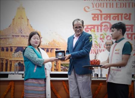 Balance between tradition and progress needed for holistic dev: Pul
-
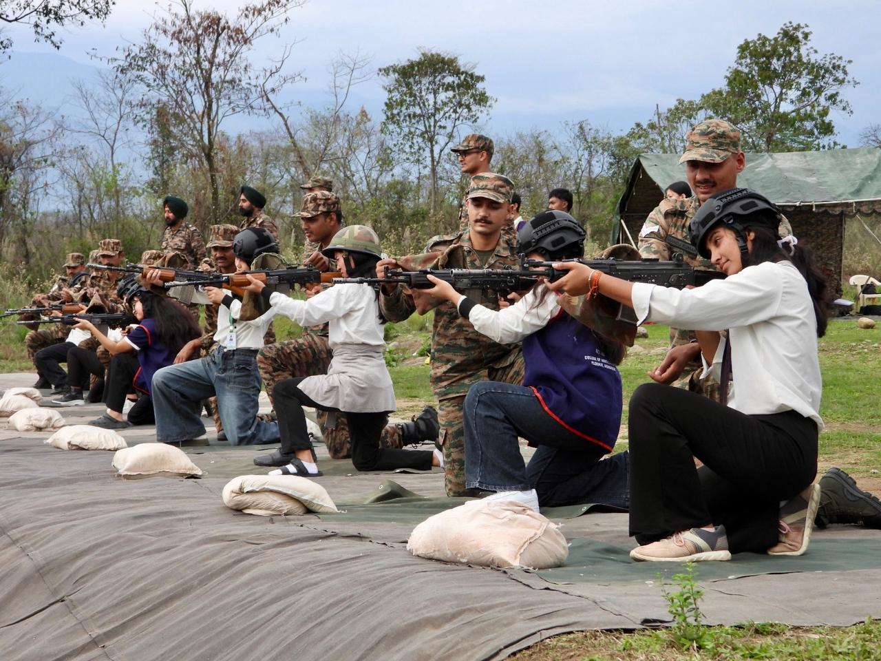 Indian Army conducts ‘Know Your Army’ outreach
-
Lobsang Tsering joins as Deputy Commissioner of PapumPare
-
Chai inspects Paya bridge in Lohit, Stresses quality and timely…
-
Contractual drivers, MTS demand hike in salaries
-
ZPM expresses concern at lack of civic sense during cleanliness…
-
ATA East Siang Unit mourns demise of member
-
Bar Association condemns alleged assault on Advocate
-
CFC inaugurated at Bekhuliang Village to boost SHG livelihoods
ES Newsdesk
SEPPA, Nov 1: Four days on, the Kameng River continued to show high levels of total dissolved solids (TDS) and very low oxygen turning the once raging river into an almost muddy swamp.
“There is no improvement in the total dissolved solids and there is high risk of elimination of aquatic life due to high turbidity,” said District Fisheries Development Officer, East Kameng, Hali Tajo.
He further said that satellite imageries or aerial surveys could help in ascertaining the reason behind the high turbidity. “We have visited the river and were shocked to see that the river is still dark and muddy,” he said, adding that the team got their legs stuck in the muddy waters.
Sources informed that the East Kameng district administration has constituted a five-member fact-finding committee comprising Fisheries Deputy Director Goken Ete, ADF SK Rath, DFDO East Kameng- Hali Tajo, AD (S) -A Chanda and Fishery Officer NC Tok to ascertain the reason behind the high turbidity and the death of aquatic animals in the Kameng River.
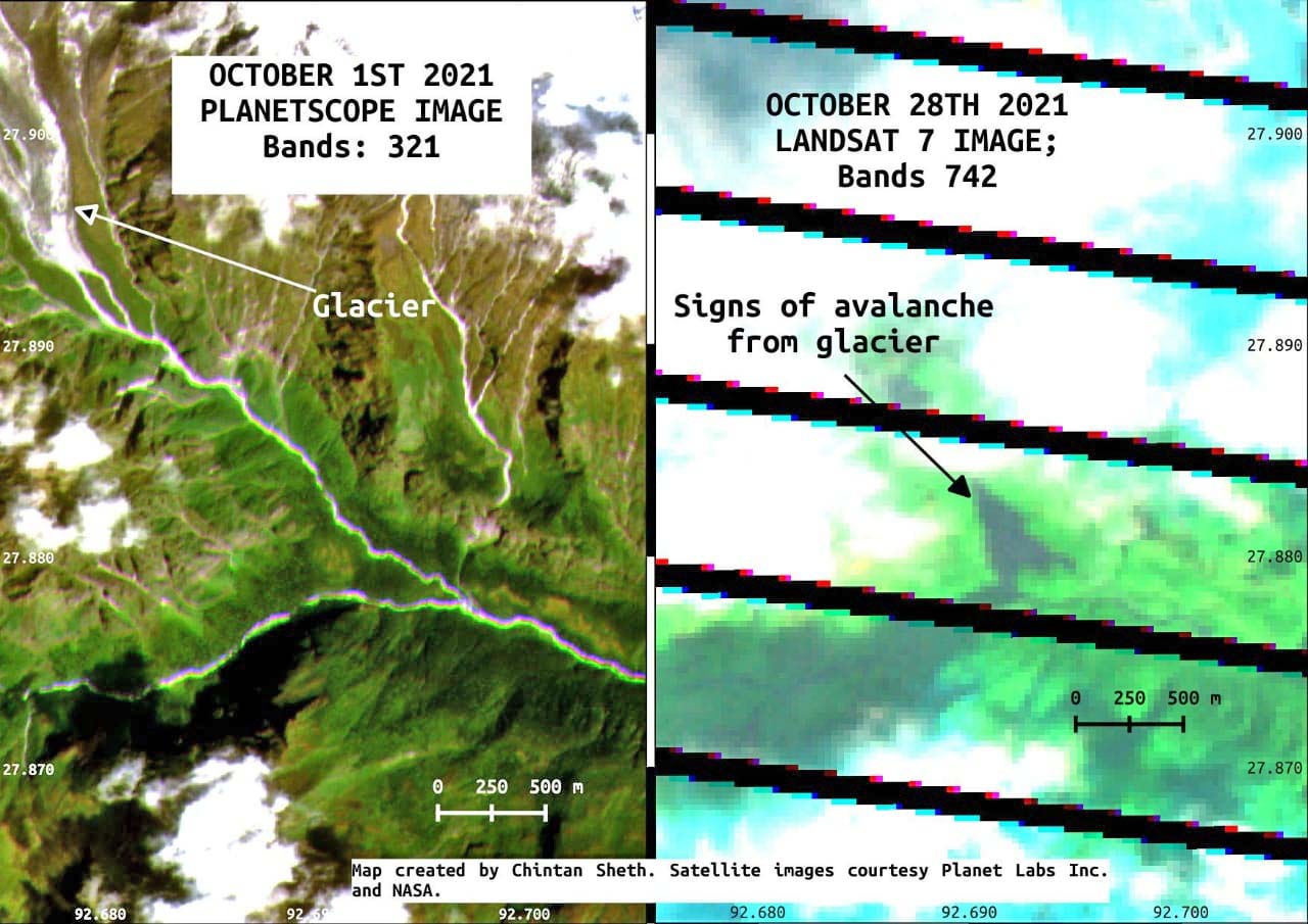
Researchers are suspecting a glacial outburst as the most likely reason behind the unprecedented event. Satellite images have shown the incident was caused by landslides originating in one of the tributaries of Kameng which is a glacial tributary.
Speaking to Eastern Sentinel on Monday, Chintan Sheth, a geographer and an independent researcher working in Arunachal Pradesh said that an Avalanche started on 28th October as observed by Landsat 7 satellite, a day before the Kameng waters turned turbid.
In an image taken on 28th October, Landsat 7 shows the avalanche below the main glacier (glacier id G092671E27916N as per GLIMS dataset) feeding the Warriyang Bung river.
Images taken on 14th October and 1st October of the glacier are mostly cloud-free and do not show any excessive surge or avalanche activity. The avalanche has occurred before and during 28th and 29th October. The river is still muddy as per local authorities and this indicates the avalanche may still be ongoing, he says.
Sentinel-2 will take images of the region on 2nd November and Landsat-8 will take images on 5th November, hopefully it is cloud free to know whats happened and if there is some discernible risk. However, given that this is a seismically active mountain region with glaciers and steep slopes, risk is present almost always. There is still some risk if the place continues to warm and/or does not cool because there are several glaciers in this valley. Some glaciers even seem to be precariously hanging on steep cliffs. Crevasses can be observed on these glaciers. Glaciers are composed of ice, rock, water and mud and move slowly. Sometimes they may move suddenly during thaw or due to a destabilizing trigger these can result in avalanches and debris flows, Sheth adds.
The Kameng River suddenly turned black leading to the death of thousands of fish, on October 29 last. The East Kameng district authorities clamped Section 144 of the CrPC, prohibiting people from going to the river for fishing or other purposes as the high turbidity could cause incidents of drowning. They restricted the sale and consumption of fish from the river for two weeks to avoid possible food poisoning. The administration deployed police personnel to patrol the river bank and urged community-based organisations to involve volunteers to sensitise people.
According to locals, the last such incident occurred 20-30 years ago.
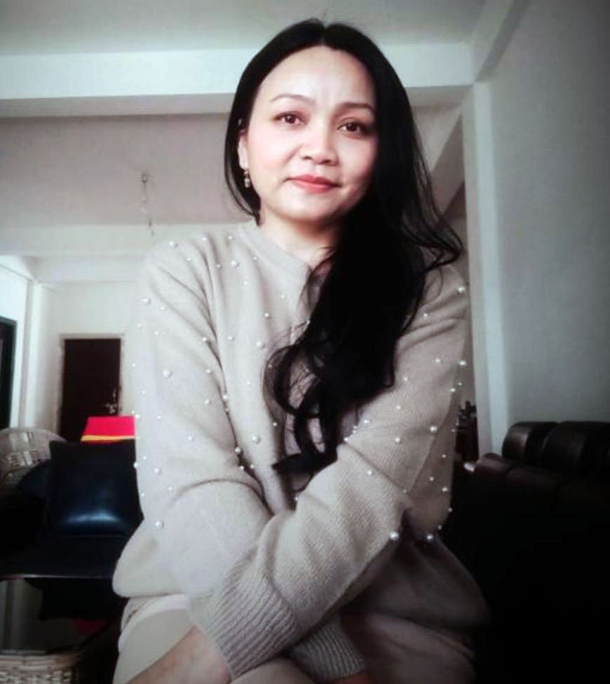
Kenter Joya Riba
(Managing Editor)She is a graduate in Science with post graduation in Sociology from University of Pune. She has been in the media industry for nearly a decade. Before turning to print business, she has been associated with radio and television.
Email: kenterjoyaz@easternsentinel.in / editoreasternsentinel@gmail.com
Phone: 0360-2212313