-
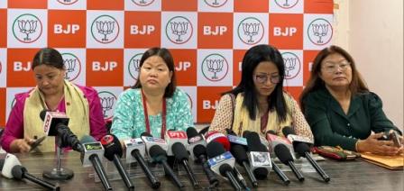 BJP Arunachal condemns Opposition for blocking Women’s Reservation Bill
-
Mein attends foundation laying ceremony of international meditation center &…
-
 CM Khandu attends grand finale of Arunachal Runway
-
Galo community holds candlelight march over lack of arrests in…
-
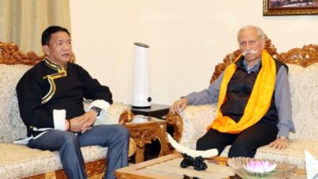 CM calls on Governor, discusses state’s dev issues
-
Teachers’ body to hold candlelight vigil for slain teacher
-
.jpg) Governor visits Border Outpost, interacts with Army troops
Governor visits Border Outpost, interacts with Army troops
-
Chief Justice, Gauhati High Court launches “APSLSA Documentaries”
-
Corps commander calls on Governor
-
Mebo MLA stresses on impactful dev & innovation approach
ES Newsdesk
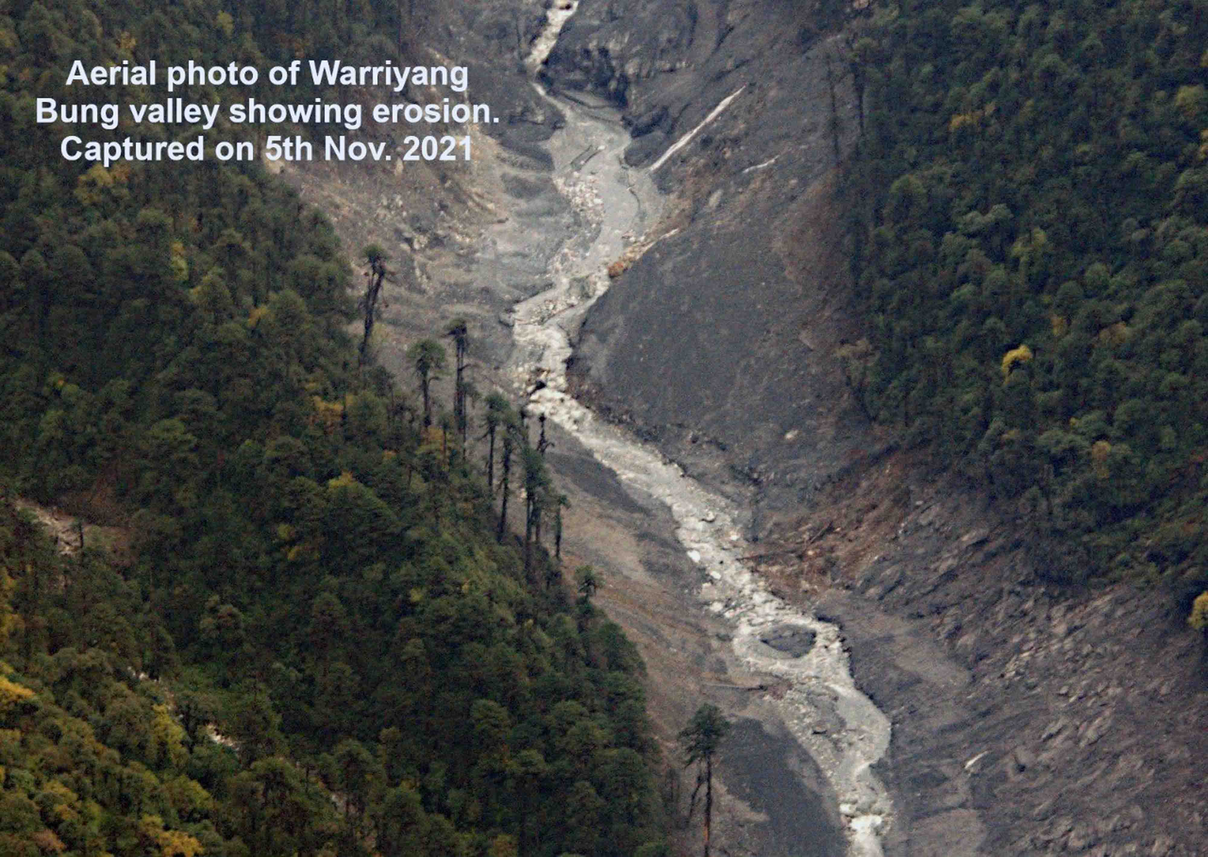
ITANAGAR, Nov 5: An aerial survey conducted today to ascertain the reason behind the Kameng River's turbidity showed intense erosion along the Warriyang Bung river resulting in deposition of mud, debris, boulders, and trees.
The aerial survey was carried out by Secretary Disaster Management, Dani Salu, Deputy Commissioner East Kameng District, PA Polumatla, independent researcher Chintan Sheth and NDRF official.
The massive erosion in the Warriyang Bung, a tributary of the Kameng River is understood to be possibly due to a landslide/avalanche on the upper reaches of the river which could not be observed by the team due to presence of thick clouds.
Independent researcher, Chintan Sheth who arrived at Seppa on Thursday to assist the East Kameng administration said that the width of the Warriyang Bung River has increased to a certain extent due to erosion.
Based on satellite imagery and aerial survey, he said that erosion happened approximately up to 30 kms downstream.
Preliminary observation shows that no water body has been formed along the river. However, continuous monitoring is going on, Sheth said.
The East Kameng administration in its bulletin informed that the situation will be closely monitored for the next 48 hours, and the public is advised to follow the directions already issued by the DA.

Kenter Joya Riba
(Managing Editor)She is a graduate in Science with post graduation in Sociology from University of Pune. She has been in the media industry for nearly a decade. Before turning to print business, she has been associated with radio and television.
Email: kenterjoyaz@easternsentinel.in / editoreasternsentinel@gmail.com
Phone: 0360-2212313