Latest News
-
36-hr ICR bandh marred by sporadic violence, Sub inspector…
-
Governor condoles demise of Bengia Tolum
-
Arunachal Pradesh to undertake Special Intensive Revision of …
-
Large acreage of wild cannabis destroyed in joint…
-
New community hub 'Ekta Bhawan' opens at Yazali Police…
-
Dr. Joram Aniya calls on Governor
-
Indian Army inaugurates transit facility at Sigar Military Station
-
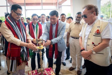 Khandu inaugurates Arunachal Niwas, fourth facility in New Delhi
-
ACS announces sit-in protest, demands CM’s resignation on moral grounds
-
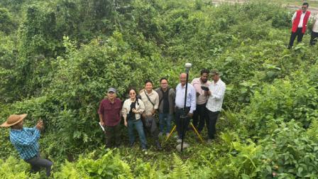 Assam-Arunachal border delineation exercise concludes in Lower Siang
15th May 2017 09:05:PM State
ITANAGAR, May 15:
Chief Minister Pema Khandu today held a meeting with the Department of Science and Technology to discuss on the monitoring of various developmental projects in state through satellite images and geo-tagging.
The Chief Minister opined that using Satellite imagery to track the progress of developmental projects will foster effective planning and evaluation of the progress of various development projects in the state.
He also appreciated the role of the State Remote Sensing Application Centre (SRSAC), under the department of science and technology in carrying out exhaustive work in producing satellite information to identify disaster vulnerable areas.
Since Arunachal is mainly a hilly terrain state, the meeting felt that appropriate technologies may be developed to sort out shadow effects and cloud cover that prevents accurate information of the ground.
The department informed that benefits of using satellite imagery is to create a one stop solution for better planning and monitoring, to create a global platform for data sharing amongst all stakeholders to facilitate decision support and to strengthen the system of state oversight.
The meeting was also attended by Science and Technology Parliamentary Secretary Tapak Taku and senior officials of the department.
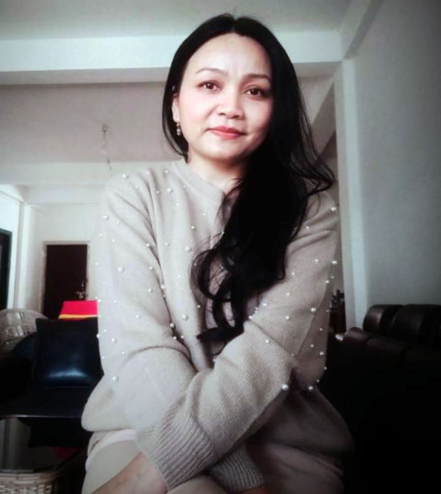
Kenter Joya Riba
(Managing Editor)She is a graduate in Science with post graduation in Sociology from University of Pune. She has been in the media industry for nearly a decade. Before turning to print business, she has been associated with radio and television.
Email: kenterjoyaz@easternsentinel.in / editoreasternsentinel@gmail.com
Phone: 0360-2212313