-
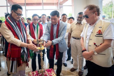 Khandu inaugurates Arunachal Niwas, fourth facility in New Delhi
-
ACS announces sit-in protest, demands CM’s resignation on moral grounds
-
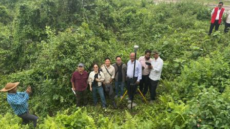 Assam-Arunachal border delineation exercise concludes in Lower Siang
-
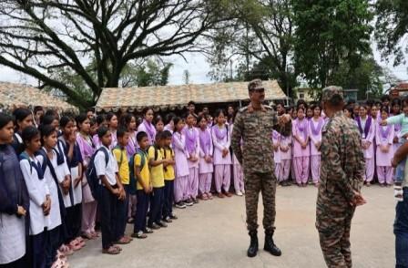 Indian Army commemorates first anniversary of Operation Sindoor
-
Fun, creativity mark VKV Alumni Summer Camp at Chimpu school
-
Power lines severely damaged in Khonsa
-
KV Khonsa shines at KVS Tinsukia Regional Sports Meet
-
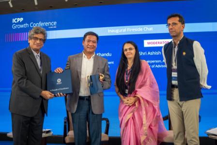 Khandu calls Arunachal “powerhouse of India” in hydropower generation
-
Itanagar Police arrests key interstate heroin supplier
-
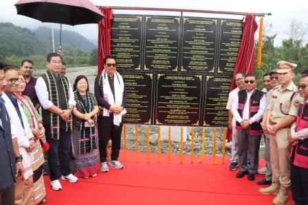 Mein inaugurates key infra projects under PMGSY-III
Itanagar, Aug 30: With the aim of ascertaining the exact status of the development projects in the state, Government of Arunachal Pradesh has introduced satellite based monitoring of development projects through geo tagging via Arunachal Monitoring web portal and a month-long training in this regard was arranged for the officers to keep them abreast of the latest relevant knowledge.
It can be recalled that satellite based monitoring and geo-tagging through this web portal was launched on June 8, 2018 and was finally executed on February 19 this year. Earlier, developmental projects executed through various departments in the state could not be properly monitored due to remoteness and communication bottlenecks. But now, it is much easier for the government departments to monitor each and every project from the state and district headquarters through remote sensing application by geo tagging method. Keeping this in mind, it has now been made mandatory to geo-tag every project in the state for satellite based monitoring through Arunachal Monitoring web portal and any project with this mandatory geo-tagging shall not be entertained by the state government for sanction.
In order to sensitize and create awareness among the officers and to train them, the Planning Department with technical support of State Remote Sensing Application Centre, has imparted required hands-on training through workshops on geo-tagging of projects and satellite based monitoring in 18 districts as of now. 32 departments had been visited and workshops conducted to impart training from August 1 to 30.

Kenter Joya Riba
(Managing Editor)She is a graduate in Science with post graduation in Sociology from University of Pune. She has been in the media industry for nearly a decade. Before turning to print business, she has been associated with radio and television.
Email: kenterjoyaz@easternsentinel.in / editoreasternsentinel@gmail.com
Phone: 0360-2212313